 DreamLand Properties, LLC
TBD 44th Trail, Cotopaxi, Colorado.
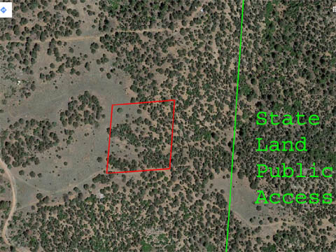
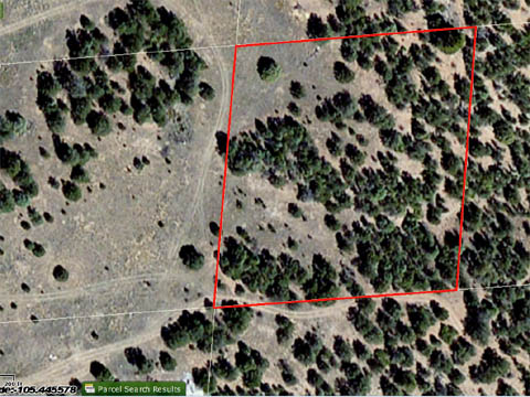
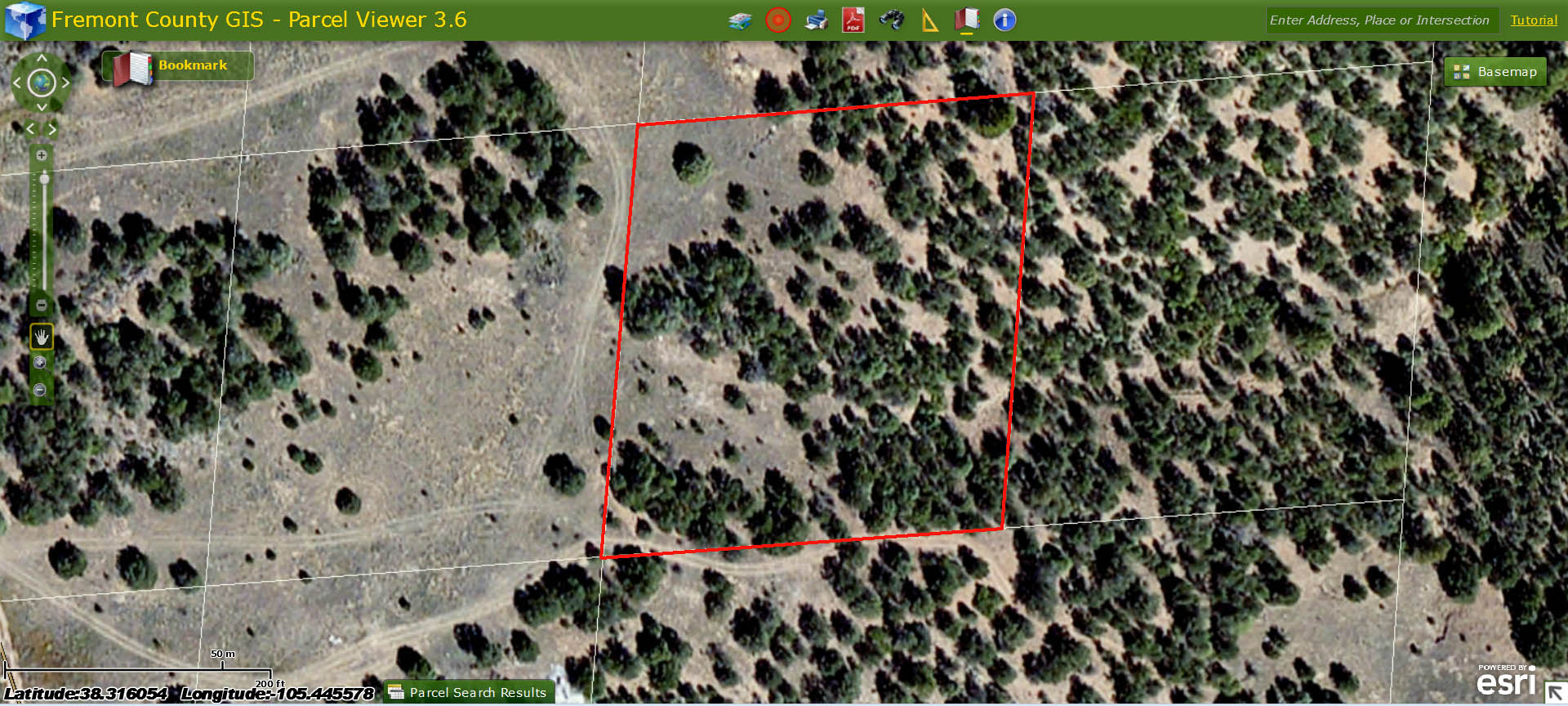
Legal Description: Florida-Colorado Acres, the SW quarter of the NE quarter of the SE quarter of the NE quarter of Section 17, Township 20 South, Range 72 West, containing 2.5 acres. (FLORIDA-COLO ACRES SW4NE4SE4NE4 SEC 17-20-72).
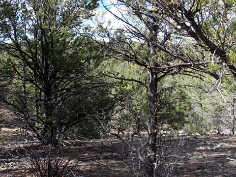
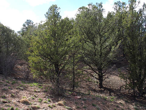
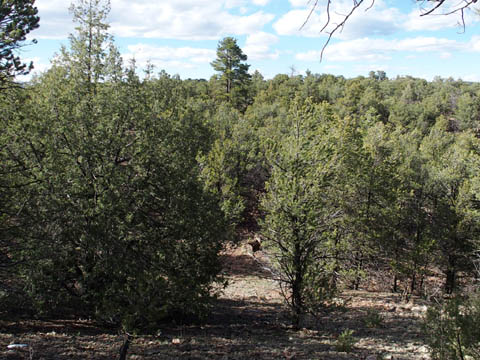
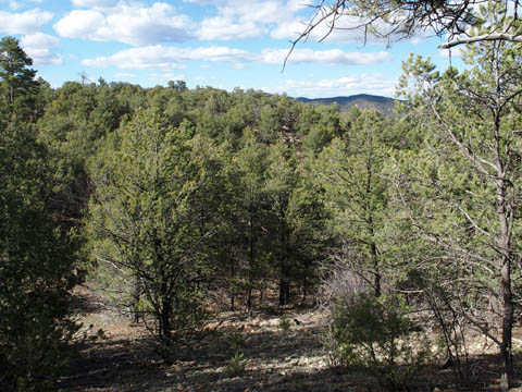
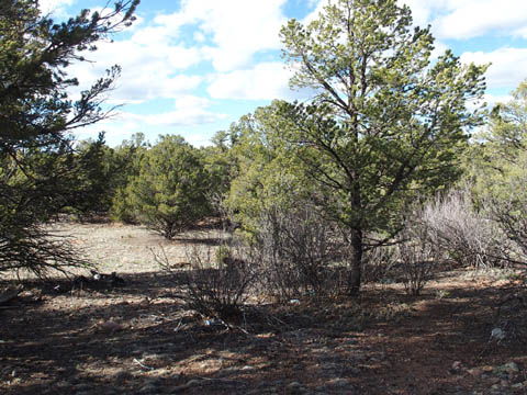
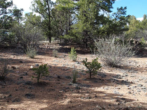
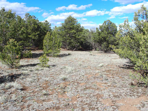
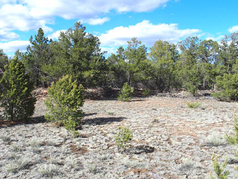
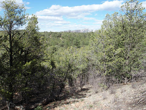
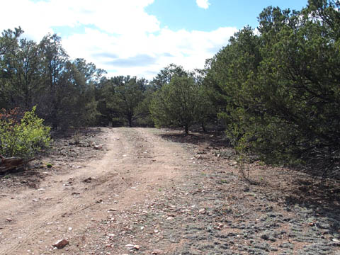
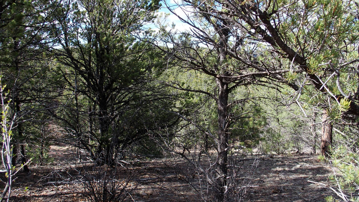
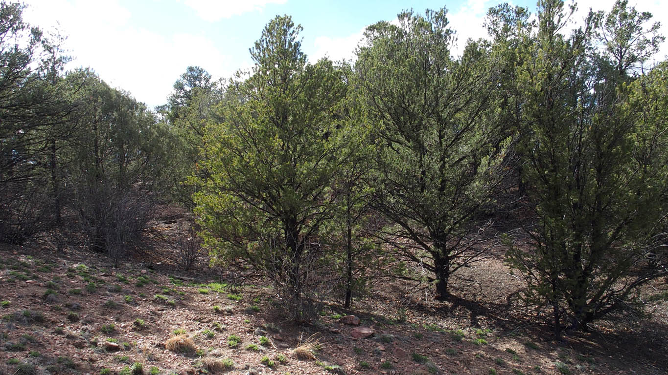
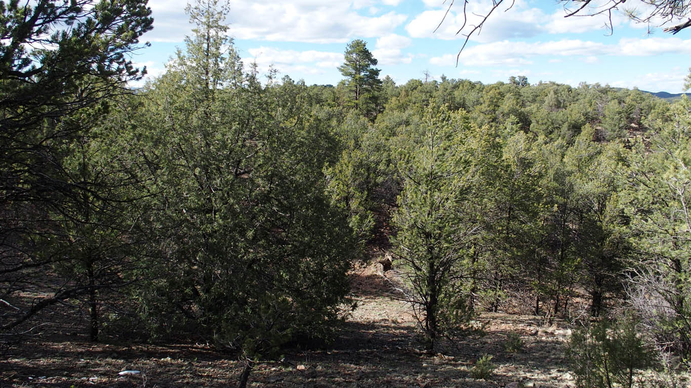
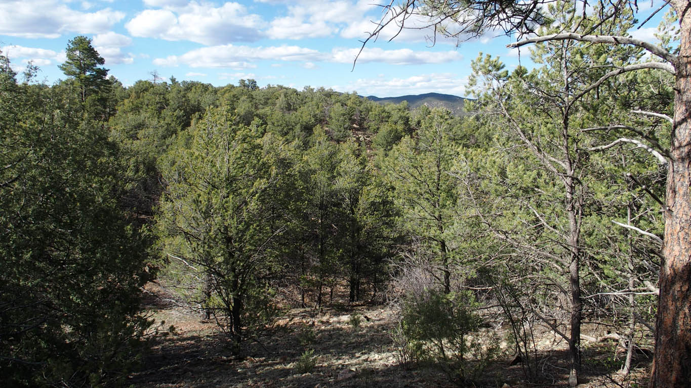
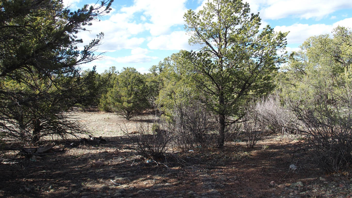
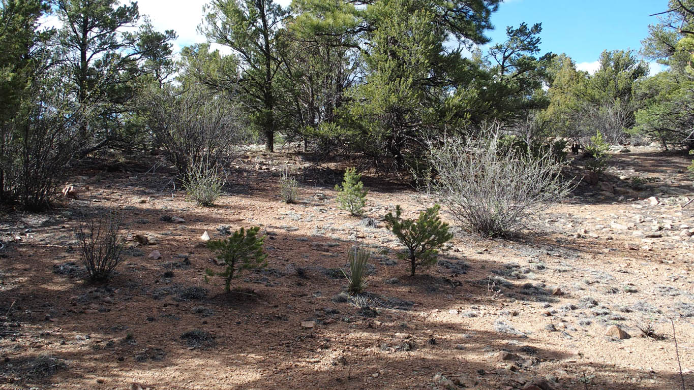
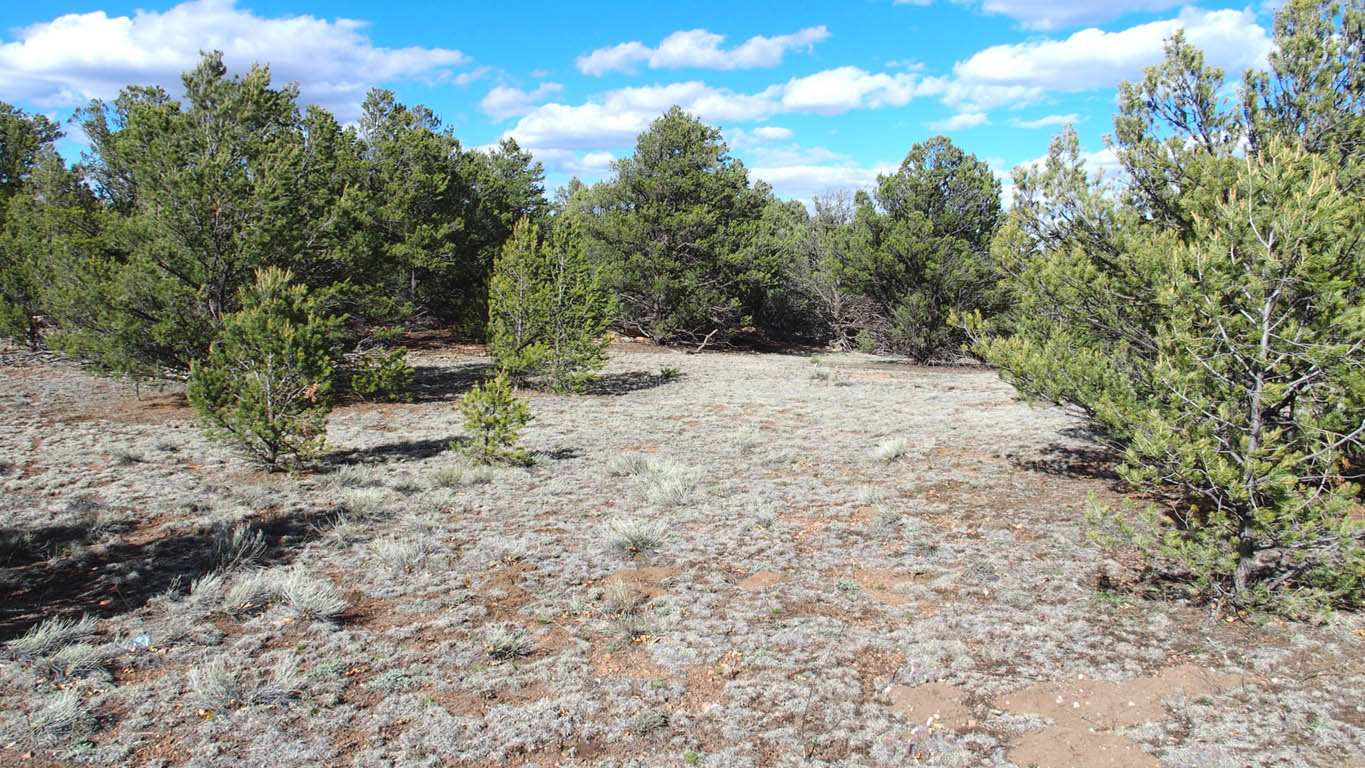
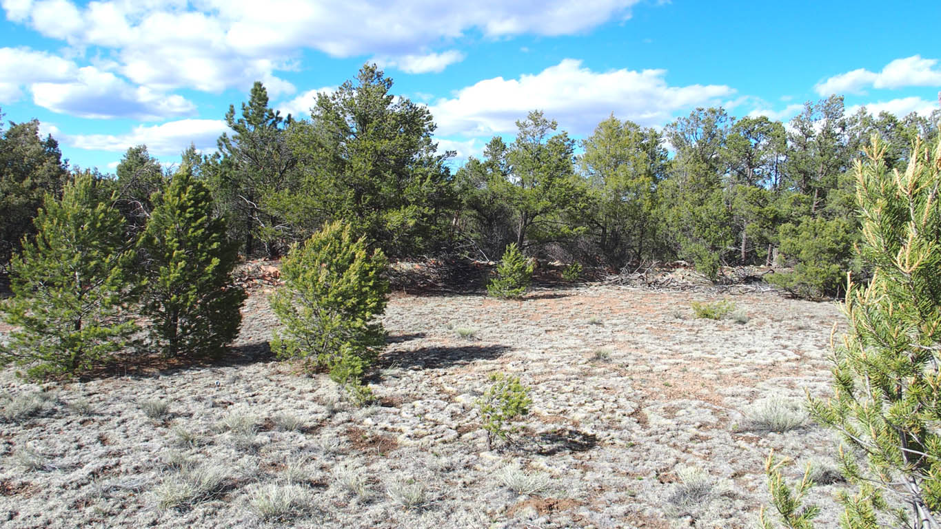
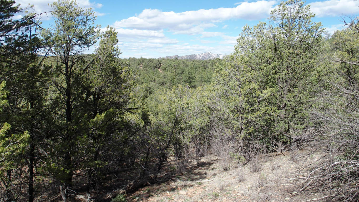
Actual Pictures, taken May 1, 2017 (Click on large picture below to enlarge more)
Lot Information:

2.5 acres Total Lot Acreage
Nicely treed property, tall conifers, mixed with some easy build grassland
Mobile homes allowed,
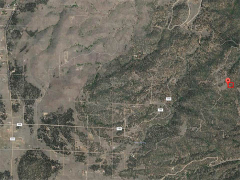
Remote location
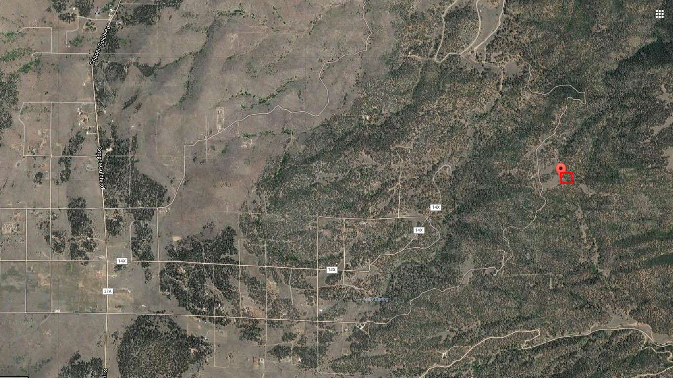
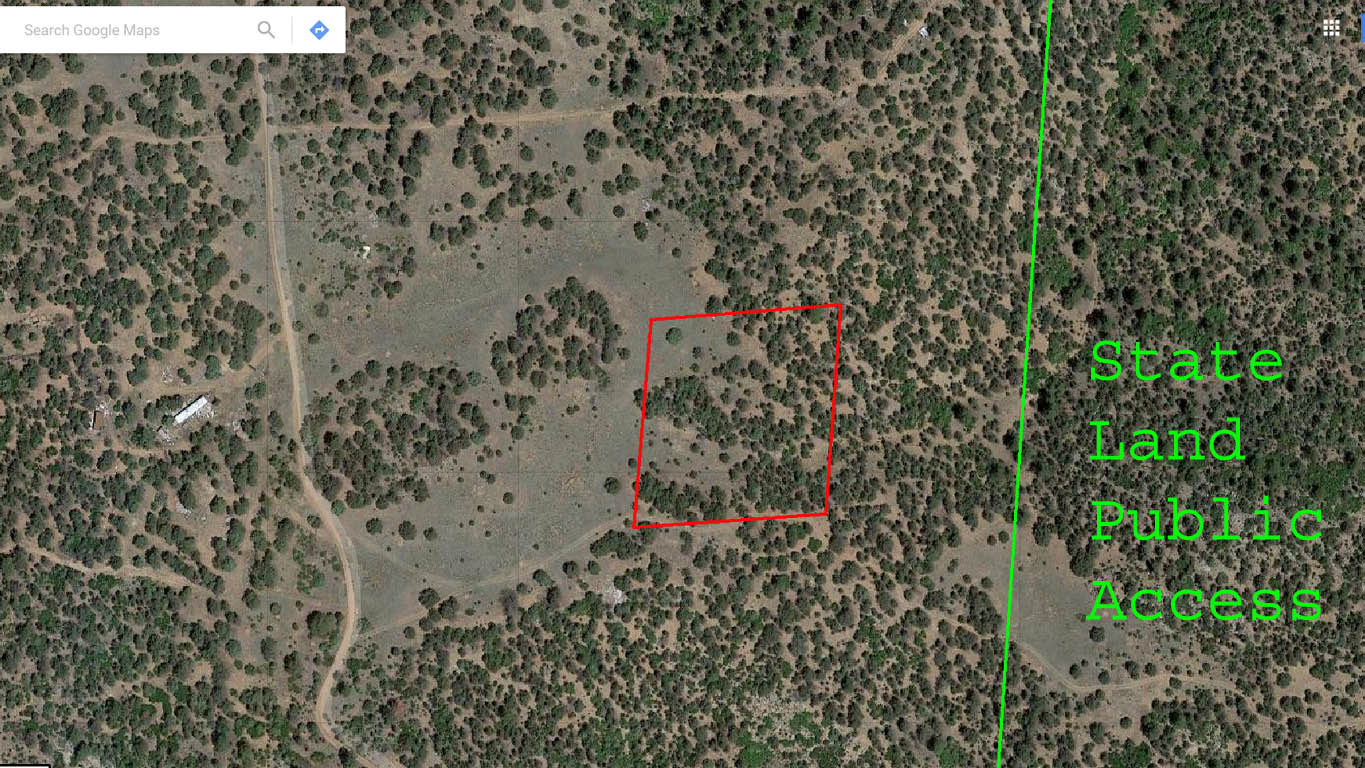
Easy access to public state land and many Hiking/ATV trails
Camping friendly community, Long term RVs noted on several properties,
NO POA/HOA,
Road to lot bumpy but passible by normal car or RV,
Mix of level and slope, very buildable, many great building sites,
Great Mountain VIEWS
Only 25 miles to Cotopaxi, CO and 31 miles to Canon City, CO
Only $7,999 Cash Price, Financed price only $9,499*
* Owner financing please see note at bottom
Downloads and Plats
Directions: (Using "latitude longitude" We were able to use the Maps app on our iPhone to navigate to the property) - type in: 38.31568 -105.44607
From Canon City, CO:
If entering Canon City from the east on US-50
1. From 15th St continue on US-50/Royal Gorge Blvd, (11.8 mi)
2. Turn left onto CR-3, (2.6 mi)
3. At the Y, bear right onto Copper Gulch Rd, continue on Copper Gulch Rd (eventually becomes a dirt road). (14.0 mi)
4. Turn left onto M Path (Bear Run). You will see the road designations (Path letters) ascend as you near M Path (M Path is a bumpy road). Property is about 2.7 mi from this turn off.
5. Property is on the right. Note the two track roads on the aerial maps. Printing of this intersection will be very helpful. Use of GPS coordinates is recommended to confirm location. GPS coordinate represents approximate location of SW corner (look for a red stake)
* For those persons opting to use owner financing, until the property is completely paid off and deed recorded, we do not allow building projects, living on the land, or storing of equipment, supplies, or vehicles. We do allow short-term camping. All county Rules and Regulations must be followed regarding camping and permitting. If you get our permission, you can put in a driveway and/or camping pad, with a permit from the county. There might be a few exceptions, such as keeping a fire-pit on the property which we can allow on an individual basis.